Maps of Natzweiler-Struhof in the context of Alsace, the other concentration camps, and the region.
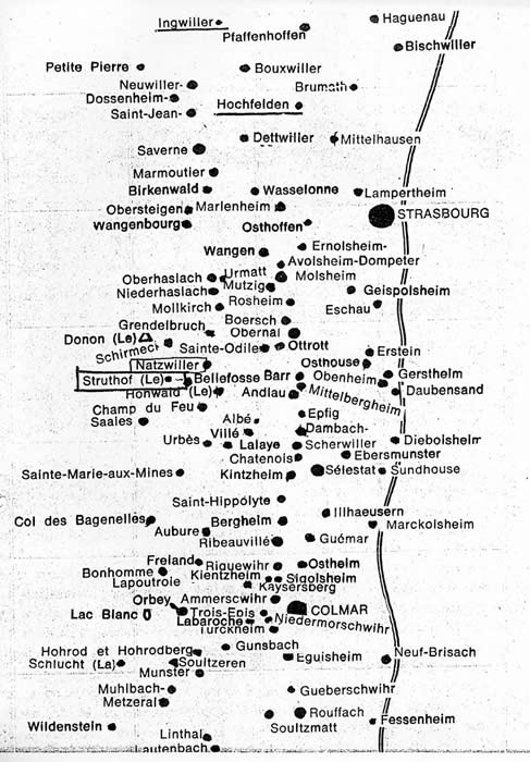
From a wine taster's map of Alsace. (Villages underlined are where the family of Diana Mara Henry used to live, before they were for the most part extinguished by French Fascists in Vichy France during the war -see the story elsewhere on this site.) Natzwiller and Le Struthof, the place names of the locales where the Natzweiler-Struthof concentration camp was located, are boxed. The wavy line running the length of the map represents the Rhine river, beyond which lies Germany.
Now to our subject:
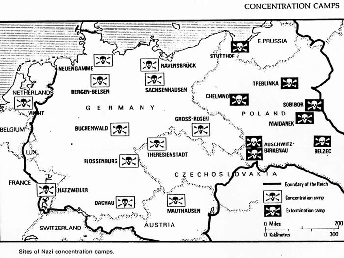
Map from Louis Snyder's Encyclopedia of the Holocaust, page 57, below:
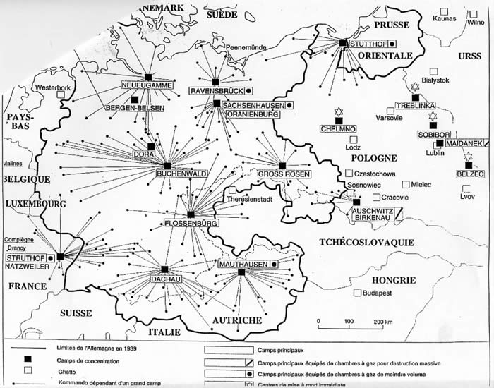
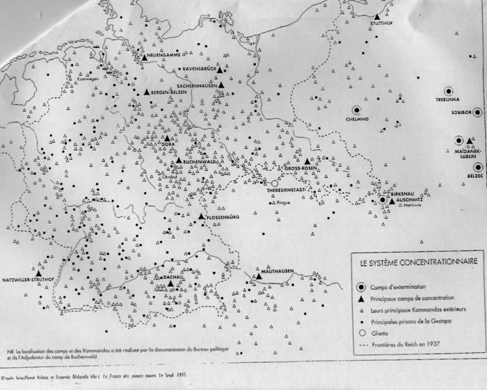
Later maps include some of Natzweiler's seventy commandos (slave labor camps):
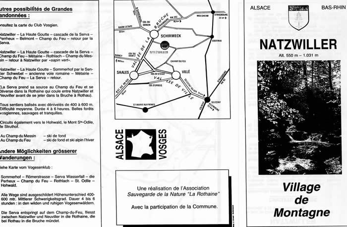
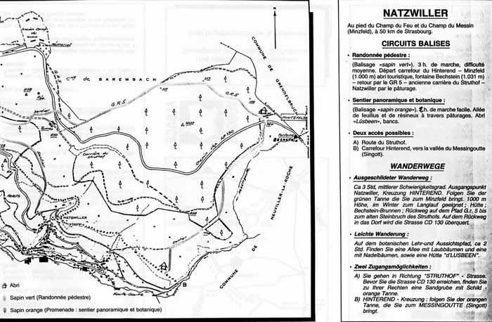
As can be seen from the tourist brochure below, published by a nature conservation group, "Sauvegarde de la Nature La Rothaine" in cooperation with the village of Natzwiller, the hikes described do not include mention of the concentration camp next to which they pass, even though it is a French National Monument and major tourist attraction with over 150,000 visitors each year.
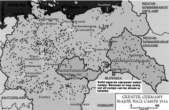
The following map, from the US Holocaust Memorial Museum website 2003, is interesting because it shows the borders of Germany absorbing the area around Natzweiler-Struthof, because Germany simply "retook" Alsace and governed it as the German region it had been between the Franco-Prussian War of 1870 and the First World War.
This begins to scratch the surface. If you have any information or comments you would like to share, please e-mail me, dmh@dianamarahenry.com. Thank you for your interest!